MapBiomas: What these ultradetailed maps reveal about nature
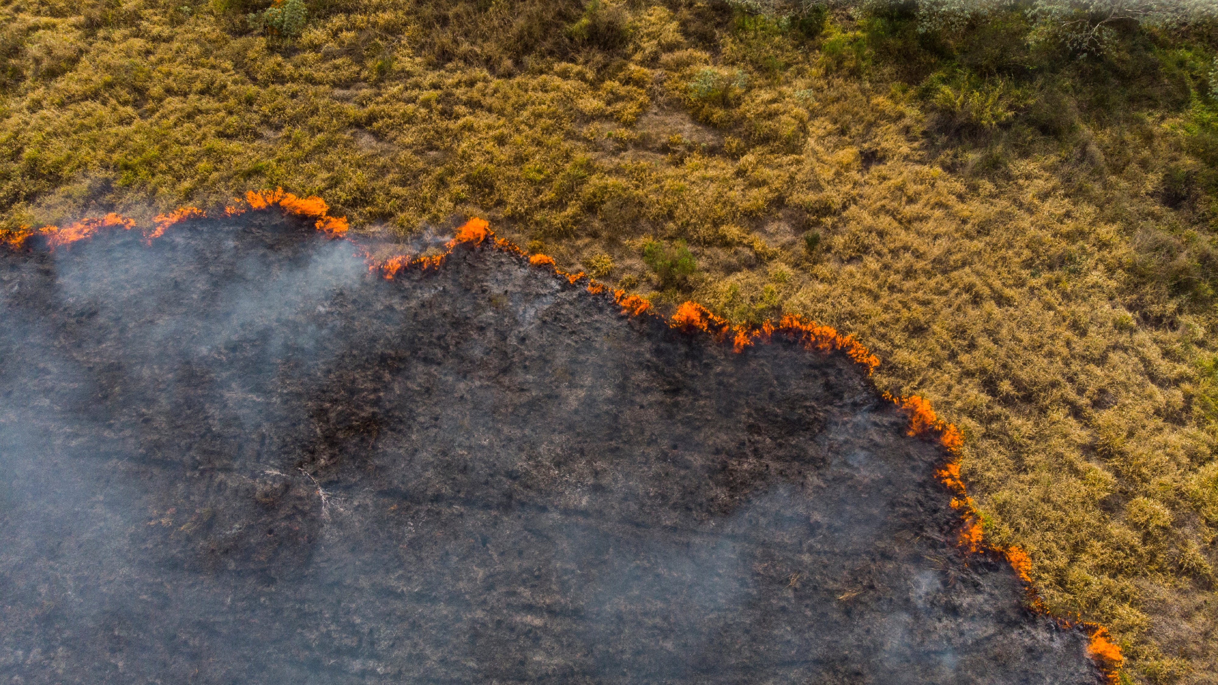
At first glance, these ultra-detailed maps might look ordinary. But as you dig deeper, MapBiomas’ diligent records of Brazil’s land cover speak volumes about the changes in the water surface, the devastating impacts of wildfires, and which communities need help on the ground. They could even help us understand the climate crisis and get us one step closer to finding solutions. Watch the full interview with Tasso Azevedo, Founder and General Coordinator of MapBiomas, and a Schwab Foundation social entrepreneur, to find out more.
MapBiomas, a collaborative initiative, has created ultra-detailed maps of Brazil, providing valuable insights into the country's environmental changes. These maps track data on deforestation, water levels, crop cover, and more, helping to protect and restore ecosystems.
One of the significant findings from MapBiomas is the alarming loss of water surface in the Pantanal, the largest wetland on the planet. The maps reveal that the Pantanal lost 60% of its water surface, on average, while Brazil as a whole lost 15%. This highlights the need for urgent conservation efforts to protect this vital ecosystem.
MapBiomas is revolutionizing land-use mapping
Traditionally, creating land-use maps was a time-consuming process, taking up to 18 months for a single map of Brazil. MapBiomas revolutionized this process by bringing together academics, tech start-ups, and NGOs to develop a more efficient approach.
The solution devised by MapBiomas involved dividing Brazil into 9.6 billion squares, each measuring 30mx30m. Using satellite imagery dating back to 1985 and Google Earth's powerful algorithms, the team was able to process the data quickly and accurately, generating annual land-use maps.
Positive stories amidst environmental challenges
MapBiomas' vast data trove also uncovered positive stories. Contrary to common perceptions, the most protected areas in the Amazon are not the ones devoid of human presence, such as national parks. Instead, they are indigenous lands and quilombo territories, occupied by traditional communities.
分享:
每周 议程
每周为您呈现推动全球议程的紧要问题(英文)


