Unchecked climate change (i.e. our failure to act on current carbon emissions) will have myriad impacts on our environment, including sea levels that will continue to rise long after we stop burning fossil fuels and cutting down the forests.
This is because carbon pollution is thought to remain in our atmosphere long enough to prolong temperature increases for hundreds of thousands of years, so the amount of greenhouse gas emissions we pump out in the coming century will correspond directly with rises in global sea levels post-2100.
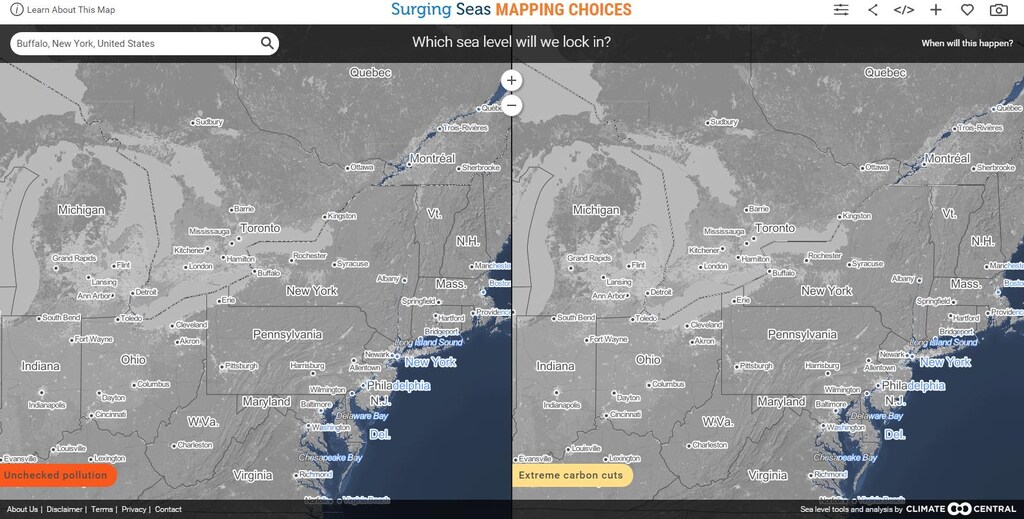
An interactive searchable map, created by Climate Central, shows how parts of the United States will be flooded in the best versus worst case scenarios for climate change – that is, continuing on the course we are on now versus extreme carbon cuts.
The map asks: which carbon pathway will we choose and which sea levels will we guarantee for future generations?
To explore the map, click on the screenshot below, or follow this link.
Have you read?
These countries are best prepared for climate change
Which countries emit the most greenhouse gas?
What does the world think of climate change?
Author: Ross Chainey, Digital Media Specialist, World Economic Forum
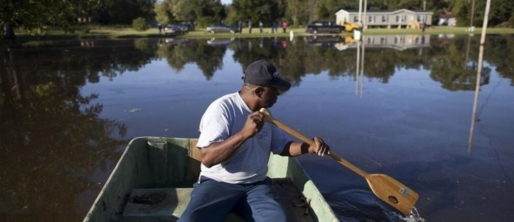
Image: Arthur Linden uses a johnboat to survey the flooded areas of his home along Dunbar Road in Georgetown, South Carolina October 8, 2015. REUTERS/Randall Hill